Bedford County

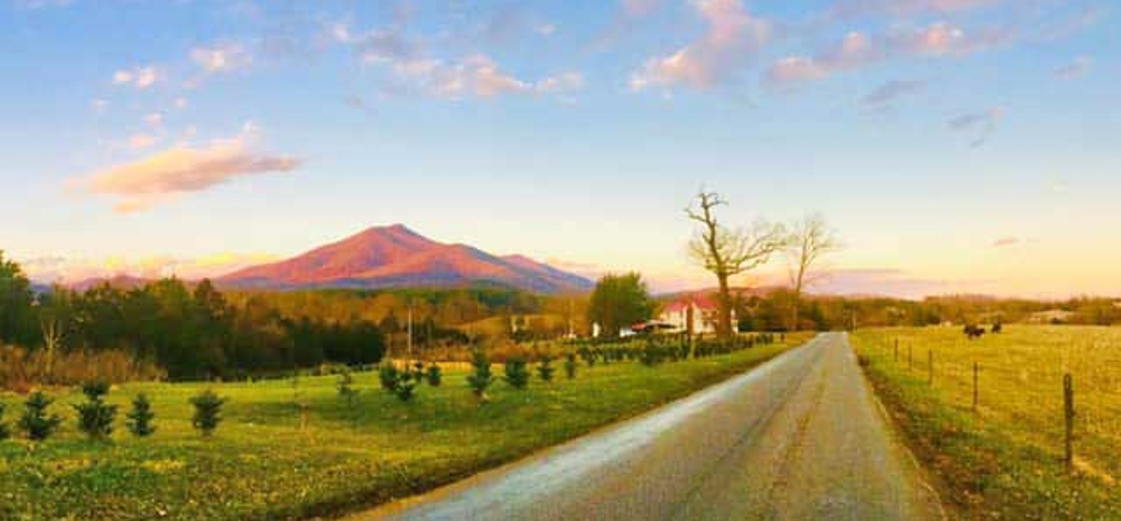
Bedford County consists of 764 square miles located in west-central Virginia, just east of the Roanoke metropolitan area. Bedford County was formed in 1754 and named for the Fourth Duke of Bedford, a British Government official. In 1839, the Town of Liberty (now Town of Bedford) was established within the county limits. The scenic Blue Ridge Mountains make up the county's western border. James River forms the northeast boundary. The 23,400-acre Smith Mountain Lake is situated to the south on Roanoke River. The area has rolling to hilly terrain, with elevations from 800 feet to 4,200 feet above sea level, including the famous Peaks of Otter, Sharp Top and Flat Top along the Blue Ridge Parkway on the county’s western border. Communities bordering Bedford include Rockbridge County to the northwest, Amherst County to the north and northeast, Campbell County to the east, Pittsylvania County to the south and Franklin, Roanoke and Botetourt Counties to the west.
According to the 2016 American Community Survey five year estimates, the population of Bedford County is 68,676, a 12% increase from the 2010 U.S. Census. The top five largest employers in Bedford County in 2019 are Centra Health, Elwood Staffing Services Inc, WalMart, Mail America Communications Inc, and GP Big Island LLC.
CVPDC HMP 2020


