Description
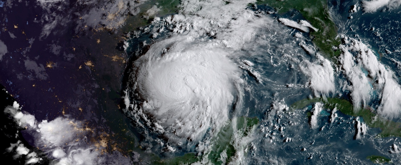
A hurricane is a classification of a tropical cyclone in which the maximum sustained surface wind is 74 miles per hour (mph) or more. The term hurricane is used for Northern Hemisphere tropical cyclones east of the International Dateline to the Greenwich Meridian. The term typhoon is used for Pacific tropical cyclones north of the Equator west of the International Dateline.
A tropical cyclone is the general term for a low-pressure system that originates over tropical or subtropical waters, with organized deep convection and a closed surface wind circulation about a well-defined center. Once formed, a tropical cyclone is maintained by the extraction of heat energy from the ocean at high temperature and heat export at the low temperatures of the upper troposphere. In this they differ from extratropical cyclones, which derive their energy from horizontal temperature contrasts in the atmosphere.
Depending on strength, they are classified as hurricanes (> 74 mph wind), tropical storms (39-73 mph), or tropical depressions (< 38 mph). Tropical cyclones involve both atmospheric and hydrologic characteristics, such as severe winds, storm surge flooding, high waves, coastal erosion, extreme rainfall, thunderstorms, lightning, and, potentially, tornadoes. Storm surge flooding can push inland and increase riverine flooding associated with heavy inland rains. High winds associated with hurricanes cause widespread debris due to damaged and downed trees, damaged buildings, and power outages.
Location and Extent
The hurricanes that affect Virginia typically form in the Atlantic or Gulf of Mexico during the months of June through November. Virginia has been struck by 48 hurricanes from 1900 to 2018 according to the National Hurricane Center. Most hurricanes affect eastern Virginia due to its proximity to the coast; however, it is not uncommon for hurricanes and tropical storms to track through the state and impact inland jurisdictions. According to NOAA’s storm events database, the CVPDC area has not experienced a direct hurricane landfall since 1950. The CVPDC area’s location makes it susceptible to the remnants of hurricanes bringing heavy rains and winds throughout the region.
History
The National Oceanic and Atmospheric Administration has tracked the path of all tropical cyclones (including hurricanes) from 1851 to 2018. There has only been one categorized hurricane that passed through the CVPDC area and it occurred in 1896 when hurricanes were unnamed. In total, 7 tropical storms and 3 tropical depressions were tracked through the CVPDC area.
Recent hurricanes affecting the region include:
- Hurricane Camille (1969) Camille made landfall in the gulf coast as a category 5 and weakened to a tropical depression before reaching Virginia. Areas within Amherst, Bedford, and Campbell Counties, as well as the City of Lynchburg, were impacted by the storm.
- Hurricane Fran (1996) Fran was downgraded to a tropical storm before reaching the area, but still had widespread effects., Rainfall amounts between 8 and 20 inches fell over the mountains and Shenandoah Valley, leading to record-level flooding in many locations within this region.
- Hurricane Isabel (2003) Isabel’s track passed east of the CVPDC area at hurricane strength, which was enough to cause wind and flood damage locally.
Plan Chapter
CVPDC HMP 2020