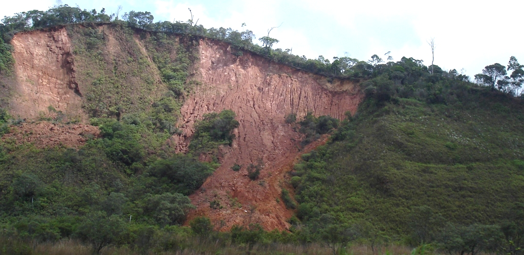
Description
A landslide is defined as the movement of a mass of rock, debris, or earth down a slope. The term "landslide" encompasses five modes of slope movement: falls, topples, slides, spreads, and flows. These are further subdivided by the type of geologic material (bedrock, debris, or earth). Debris flows (commonly referred to as mudflows or mudslides) and rock falls are examples of common landslide types. In Virginia, heavy rainfall is the major cause of landslides, but they can also be triggered by rapid snow melt or oversteepening of slopes by stream incision. Certain man-made changes to the land, such as slope modification or drainage alteration, can greatly increase the likelihood of landslides.
Location and Extent
Landslides are a major geologic hazard and occur most frequently in the mountainous terrain of Virginia because of the presence of steep slopes and highly fractured bedrock that exists over shallow soils. The lower-relief areas of the Piedmont region also have landslides, but they are often smaller and generated by human disturbance, such as making an over-steepened road cut. The most disastrous landslide events have been associated with heavy rainfall along the steep slopes of the Blue Ridge Mountains and the Appalachians.
History
There are very few documented landslides events for the CVPDC area. Historically, major rainfall events have caused the greatest numbers of documented landslides in the Virginia mountains. Hurricane Camille in 1969 stalled over the Blue Ridge Mountains, dropping more than 30 inches of rain in less than eight hours. Flooding and numerous landslides and debris flows occurring in the north of the CVPDC area (Nelson, Amherst, and Rockbridge counties), led to the deaths of more than 150 people, 100 injuries, destruction of more than 100 bridges, and more than $150 million in property damage. This event resulted in the most recorded deaths by a natural hazard in the Commonwealth.
There are two minor landslide events occurring recently recorded in the U.S. Landslide inventory by USGS. On September 19, 2010, mudslide caused by downpour knocked out the boiler in Central Virginia Training Center, Madison Heights, Amherst county. On May 18, 2018, heavy rain triggered a mudslide on US route 460 near Route 122 interchange and the exit for the National D-Day Memorial. It caused traffic jams and at least one lane in Bedford County was shut down.
Plan Chapter
CVPDC HMP 2020